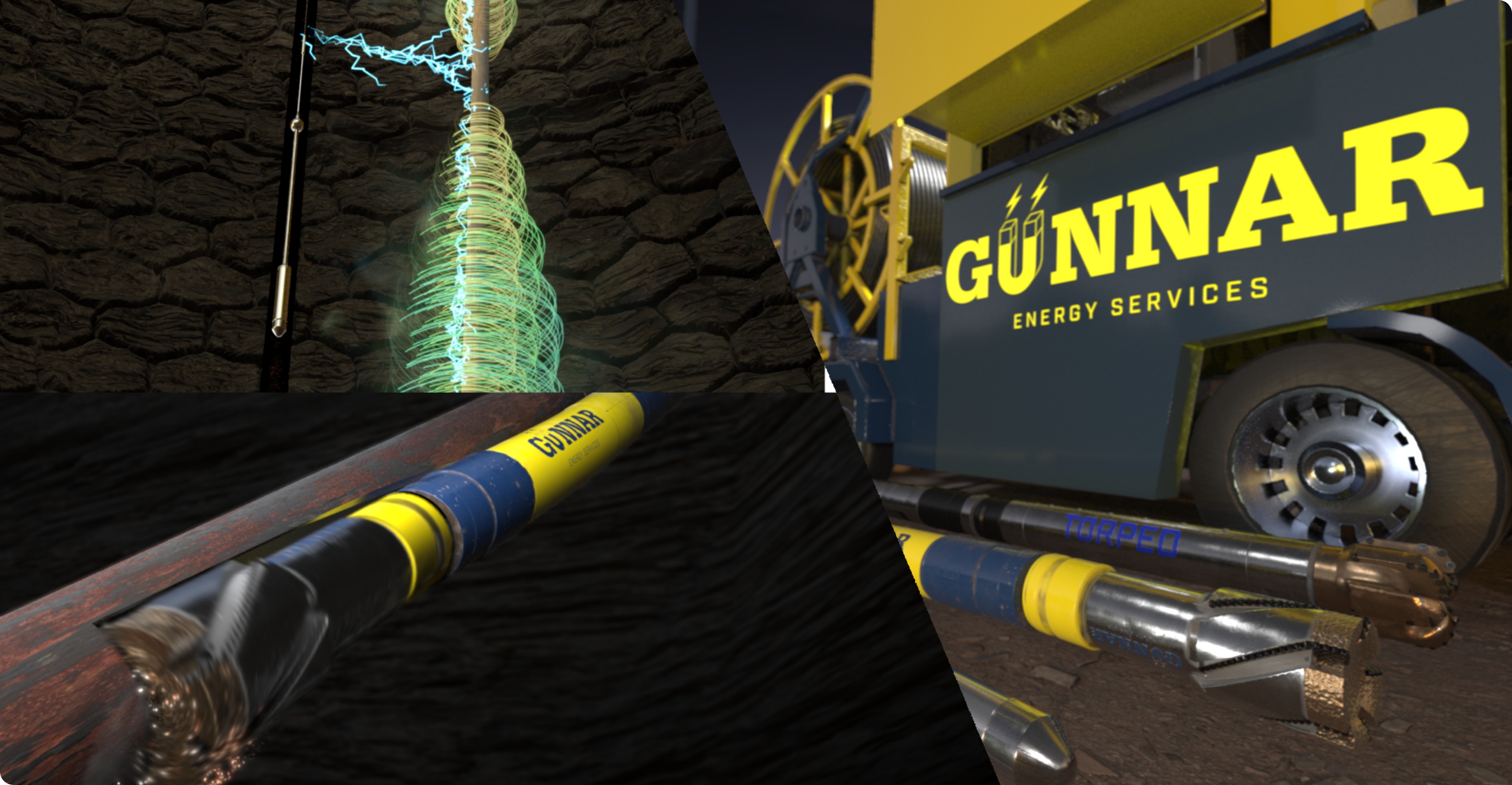
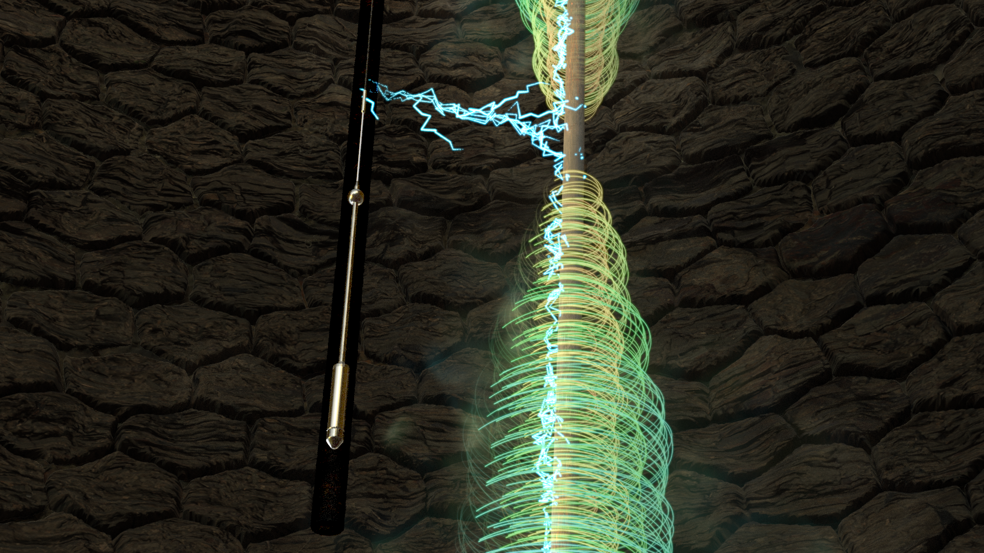
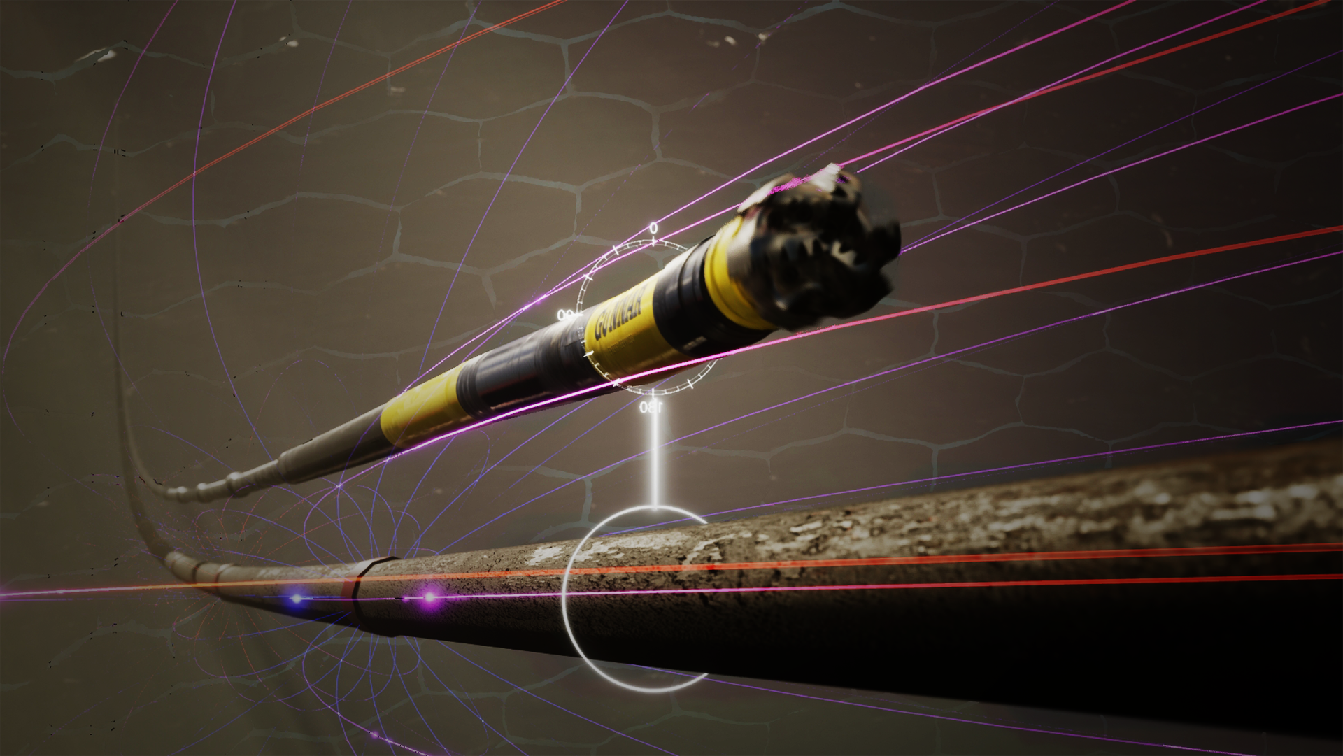
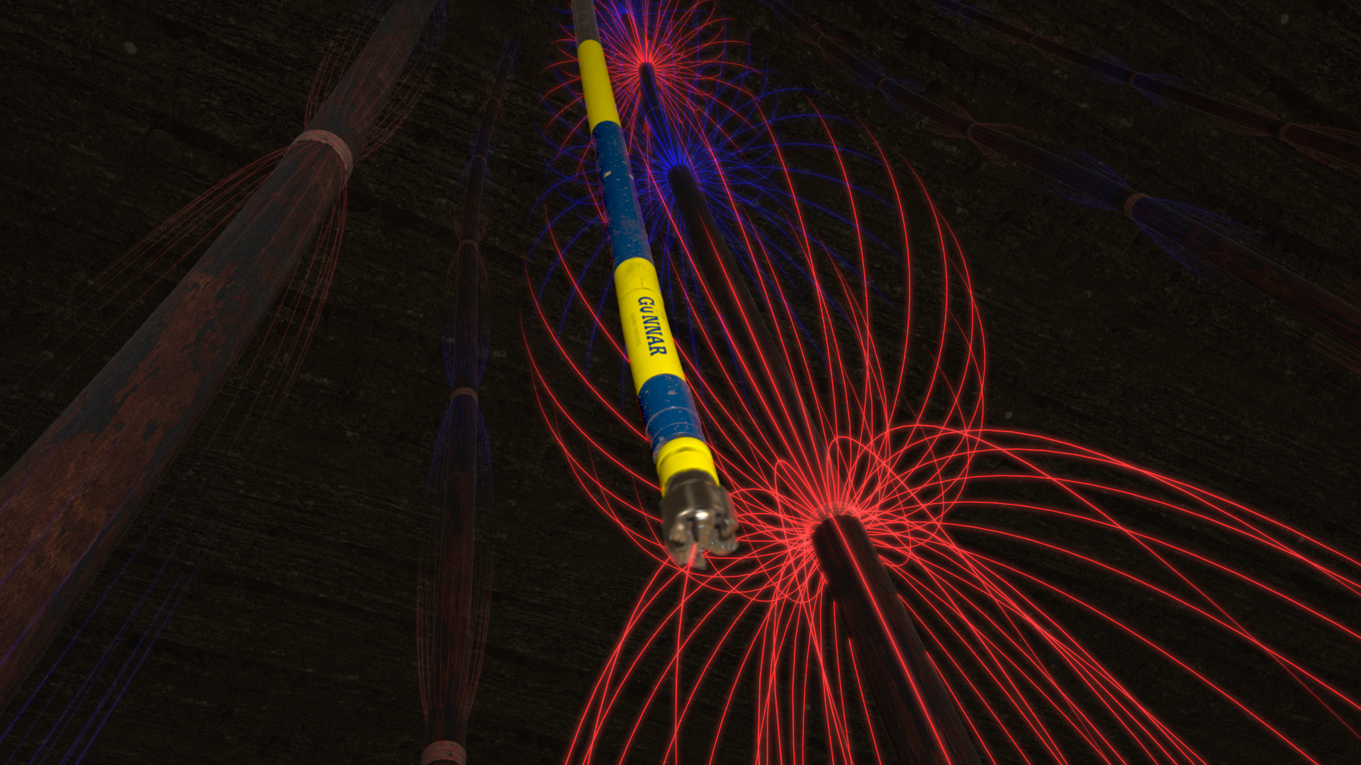
TRADE NAME

At-Bit Active Ranging
TECH NAME
Rotating magnet at-bit ranging system
Technical Description
The rotating magnet ranging system consists of 2 main parts, a bit sub that has contained in it many rare earth magnets, and a sensor which is deployed downhole via a mono conductor wireline.
The system is deployed to allow for long distance, at-bit, precise and repeatable ranging from the drilling BHA to an offset wellbore that contains the wireline deployed sensor. While drilling, the bit sub rotates, and a rotating magnetic field is created. In a separate nearby wellbore, the sensor can detect the rotating magnetic field from the spinning magnet sub. The information from the sensor is transmitted up the wireline, and analyzed on surface through proprietary software. A distance and direction from the bit sub in the drilling well to the sensor in the offset well is calculated. Using this information, the drilling well can be re-planned. The ranging process takes 1 minute to perform. The sensor can be deployed in cased or open hole, and the system provides at-bit ranging data greater than 200ft.
Uses
TRADE NAME

Magnetic Ranging System
TECH NAME
MWD/Passive Magnetic Ranging
Technical Description
MWD/Passive Magnetic Ranging makes use of the sensor data from the customers’ chosen MWD service provider to collect all the information that is needed to calculate the distance and direction between wellbores. When drilling in the vicinity of a cased wellbore, drillpipe or fish, the Earth’s magnetic field is disturbed as the offset casing or fish interferes with the field and presents a magnetic field of its own.
This disturbance, which can be thought of as “hot” MWD surveys, can be measured by any industry standard MWD system, and the measurements used to calculate the distance and direction between the drilling well and the nearby casing, drillpipe or fish. MWD/Passive ranging can be performed on short notice, typically without the need for additional equipment or personnel on location. On most jobs, all analysis can be performed remotely, and the ranging data and wellplan communicated via the remote operations center to the client’s office and drill site.
Uses
Wellbore Intercept
Relative Wellbore Spacing
TRADE NAME

Active Ranging System
TECH NAME
No-access wireline deployed active ranging system for plug and abandonments and relief wells (wellbore intercept)
Technical Description
The no-access active ranging system is used when a target well that is to be abandoned or plugged cannot be accessed from surface. In the event of a well control incident (release of hydrocarbons) or a wellbore obstruction (ex. casing collapse or shear), the problem well must often be intersected with an offset well purposely drilled so as to allow for heavy drilling mud and cement to be pumped from the drilling well into the target well. The no-access active ranging system is typically deployed via 7 conductor wireline in open hole. The active ranging system injects current into the formation from an electrode in the wireline assembly.
The current injected into the formation collects on the nearby problem well casing, and a magnetic field is created about the target well. This field is sampled by the active ranging sensor in the open hole wireline assembly and analyzed through proprietary software to produce a distance and direction from the drilling well to the target well. This information is used to create a new well plan specifically designed to intersect the problem well. The accuracy of the system is such that the drilling well can be aligned with the precision required to contact, mill into and re-enter the target well. This allows for a deep cement plug to be placed with confidence on the inside of the target well casing, thereby guaranteeing a permanent and durable abandonment.
Uses

Gunnar’s response team is on standby around the clock to take your call and restore control to your well.
If this isn’t an emergency, and you’d like to speak with one of our team members, please feel free to contact us at any time via email or phone.